What Lies Beneath the Leaves: The Use of LiDAR in Archaeology
Time
18:00 - 23:30 o'clock
Organizer
Max-Planck-Institut für Geoanthropologie
Place
Mezzanine/ Zwischengeschoss über der Bibliothek
Adresse
Kahlaische Straße 10, 07745 Jena
This exhibition explores the basic concepts of LiDAR, a laser scanning technology that uses drones, helicopters, or airplanes. The technology is introduced, the specialized drone used for this application is on display, and examples are presented.
Note
on an ongoing basis
Restriction
(Suitable for ages 10 and up)
Bild
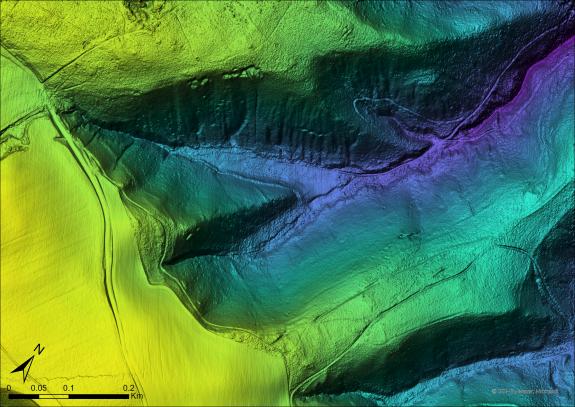
Höhenmodell unter den Bäumen
, ©
Manuel J.H. Peters
Location
Other events in this series
No future events in this series.