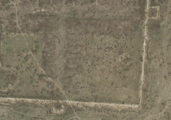
In recent years, the integration of AI and remote sensing (RS) has transformed archaeological research and opened up a new perspective through which we can uncover history. Advanced AI algorithms analyze satellite and aerial imagery to identify patterns and anomalies—such as underground structures or ancient burial mounds—that might otherwise remain hidden. These powerful tools can scan vast areas in a fraction of the time it would take using traditional methods, opening up new possibilities for exploration.
However, to ensure the accuracy of these results, the data must be verified on-site through a process known as field verification. This is where drones come into play. Drones are capable of navigating remote and challenging terrain, from the steppes of Mongolia to the plains of Argentina and the mountains of Armenia. They capture high-resolution visual data (5–10 cm/pixel) and create detailed 3D models. This allows archaeologists to validate AI-driven discoveries without invasive and time-consuming excavations, offering a more sustainable and efficient approach to fieldwork.
The synergy between AI and drone technology streamlines the archaeological discovery process, reduces costs, and minimizes the environmental footprint at these hidden sites. In this presentation, we will present case studies demonstrating how AI’s pattern recognition capabilities can distinguish natural formations from man-made structures, while the adaptability of drones enhances on-site verification. We will also address current challenges, ethical considerations, and the future potential of integrating these technologies into archaeological research.
Join us as we explore how AI and drones are pushing the boundaries of discovery, bringing new archaeological sites to light, and preserving our shared heritage for future generations.